 Call
Call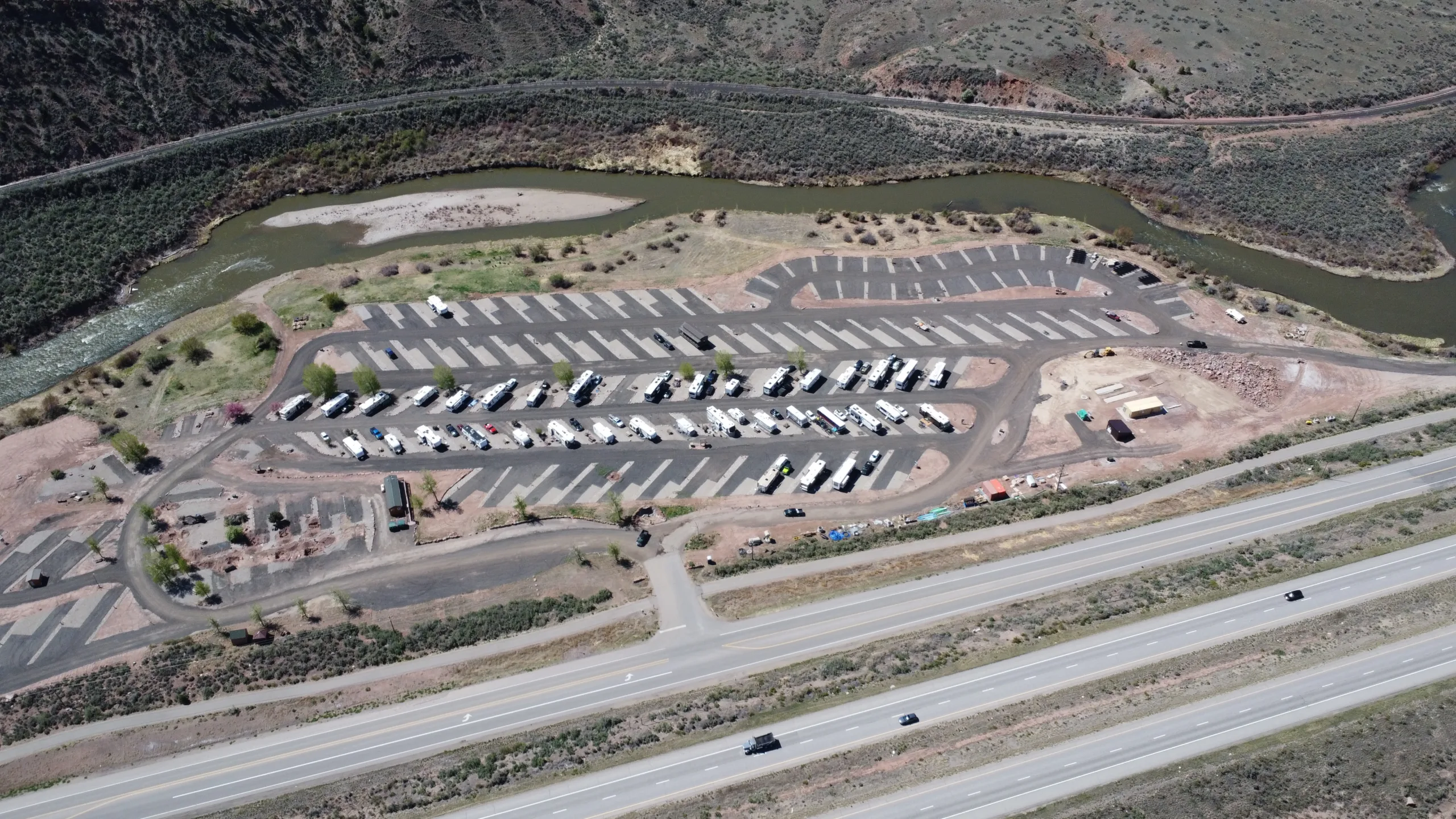
Vail Pass, Glenwood Canyon & the Eisenhower Tunnel: What Big-Rig RV Drivers Need to Know on I-70
Driving a big-rig RV on I-70 in Colorado is one of the most rewarding and most demanding stretches of interstate in the country. In the span of about two hours, a 40-foot motorhome or a long fifth wheel climbs to the highest point on the entire U.S. Interstate system, crests a 10,600-foot pass with 7 percent grades, and threads a narrow river canyon where the shoulders nearly disappear. Do it prepared and it is a spectacular drive. Do it unprepared and it is where brakes overheat, engines lose power, and trips get cut short on the side of the road.
This guide walks through the three features that matter most to big-rig RV drivers on I-70 through the Colorado high country: the Eisenhower Tunnel, Vail Pass, and Glenwood Canyon. It covers grades, restrictions, altitude, weather, and closures, and it explains why the small town of Gypsum, right in the middle of the corridor, is the smart place to base your rig while you take on the mountains a day at a time.
The Quick Answer
Can you drive a big-rig RV on I-70 through the Colorado mountains?
Yes. Standard motorhomes and travel trailers cross the Eisenhower Tunnel, Vail Pass, and Glenwood Canyon every day in season. The keys are managing steep 6 to 7 percent grades with low gears instead of brakes, respecting altitude that saps engine power above 10,000 feet, checking CDOT closures before Glenwood Canyon, and knowing that placarded hazardous loads are the main thing actually banned from the tunnel. Everyday RV propane for personal use is allowed.
Where should a big rig base in this corridor?
Gypsum, in the Vail Valley, sits at roughly 6,300 feet on a flat stretch of I-70 between Glenwood Canyon to the west and Vail Pass to the east. It is the natural low-elevation recovery point, and full hookup RV sites in Gypsum let you unhook once and day-trip the passes without hauling your whole home over them repeatedly.
The Eisenhower-Johnson Memorial Tunnel: The Highest Point on the Interstate
Heading west out of Denver, the first major test is the Eisenhower-Johnson Memorial Tunnel, about 60 miles into the mountains near Loveland Pass. At roughly 11,158 feet, it is the highest point on the U.S. Interstate Highway System, and the bore itself sits under the Continental Divide.
What is restricted in the Eisenhower Tunnel?
The tunnel’s firm rule is hazardous materials. Vehicles carrying placarded quantities of hazmat are prohibited and must detour over U.S. 6 across Loveland Pass, a tight, switchbacked road that is far more dangerous for a big rig than the tunnel ever would be. For the average RV traveler this rarely applies. The propane tank that runs your fridge and furnace is considered personal-use fuel, not a placarded load, so standard RVs pass through the tunnel normally.
Height is the other thing to know. The tunnel has posted clearance limits, and virtually all consumer RVs, which top out around 13 feet 6 inches, clear without an issue. If you are running an unusually tall custom rig or a car hauler with height added on top, check the posted limits before you commit, because there is no easy turnaround at the portal.
The real challenge at the tunnel is not the tunnel. It is the altitude and the grade that lead to it. Naturally aspirated engines can lose a noticeable share of their power above 10,000 feet, so a rig that pulls strong at sea level may crawl on the final climb. Get in a lower gear early, keep your cool on the engine and transmission temperatures, and let faster traffic pass rather than forcing the pace. Once through the west portal, you begin a long descent toward the Vail Valley, which brings up the second obstacle.
Vail Pass: Steep Grades and a Runaway Truck Ramp
Vail Pass tops out around 10,662 feet, and it is defined by sustained grades of about 7 percent on both the eastern climb and the western descent into the valley. Seven percent does not sound dramatic on paper, but for a heavy rig it is a long, continuous pull going up and a long, continuous test of your brakes going down.
How do you safely descend Vail Pass in a big-rig RV?
Use your gears, not your brakes. The classic mountain rule is to descend in the same gear you would need to climb, letting engine braking and, if you have it, an exhaust brake or tow/haul mode do the work. Riding the service brakes the whole way down is how you cook them. Overheated brakes fade, and on a 7 percent grade a fade can turn into a runaway. CDOT has built and recently upgraded a runaway truck ramp near the base of the westbound descent for exactly this reason, and its existence is a reminder of how seriously to take the downgrade.
Winter adds another layer. Colorado enforces traction and chain laws on this corridor when conditions deteriorate, and a big rig with poor tires can be turned around or fined. Most RVers avoid this stretch in deep winter storms entirely, which lines up well with the Vail Valley’s summer-and-fall RV season. If you are chasing ski-season access, plan travel days around the weather windows and watch the forecast closely.
Coming down the west side of Vail Pass drops you into the heart of the Vail Valley. This is where the driving eases, the elevation falls, and a central base starts to make a lot of sense. From here it is a short, flat run to Gypsum.
Glenwood Canyon: Beautiful, Narrow and Prone to Closures
West of the Vail Valley, I-70 enters Glenwood Canyon, a roughly 12 to 15 mile engineering marvel where the highway is stacked on viaducts and cantilevered ledges along the Colorado River. It is widely considered one of the most scenic stretches of interstate in America, and it is also one of the more demanding for a big rig.
Inside the canyon, lanes are narrow, the speed limit drops to around 50 miles per hour, and there is essentially no shoulder to pull onto if something goes wrong. Wind can push a high-profile RV around, and the curves are constant. The Hanging Lake Tunnel runs through the canyon wall midway. None of this is beyond a careful driver, but it is not a place to be distracted, tired, or rushing.
Why does Glenwood Canyon close so often?
The canyon sits below steep, unstable terrain, and it is especially vulnerable after the Grizzly Creek burn scar left the slopes prone to rockfall and mudslides during heavy rain. CDOT will close I-70 through the canyon on short notice for safety, and because the canyon walls leave no room for a detour, a closure means a very long reroute, often hours out of your way. This is the single biggest planning risk in the corridor for RVers coming from or going to the west.
The practical takeaway is simple. Before you point a big rig at Glenwood Canyon, check current conditions on CDOT’s COtrip site or app. If the canyon is closed or a storm is moving through, it is far better to wait it out from a comfortable base than to get caught mid-canyon or forced onto a marathon detour.
Why Gypsum Is the Smart Base for the I-70 High Country
Look at where these three obstacles sit and a pattern appears. The Eisenhower Tunnel and Vail Pass are to the east. Glenwood Canyon is to the west. In the middle, at about 6,300 feet on a flat, open stretch of interstate near the Eagle County Regional Airport, is Gypsum.
That position is a gift to big-rig drivers. Gypsum is the natural low-elevation landing spot after you come down off the passes from the east, and it is the staging point before Glenwood Canyon if you are heading west. Basing here means you tackle each hard section once, with a rested driver and a cool rig, instead of dragging your entire setup back and forth over 11,000-foot terrain every time you want to see something new.
Is there an easier approach for a 40-foot motorhome than driving the passes daily?
Yes. Park the rig once at a central base and use a tow vehicle or day drives for the sightseeing. From Gypsum you can visit Vail to the east and Glenwood Springs to the west, each roughly 30 minutes away, without moving camp. The hardest driving of your trip becomes a one-time arrival and departure rather than a daily grind.
Riverdance RV Resort: A Flat, Full-Hookup Landing Spot in Gypsum
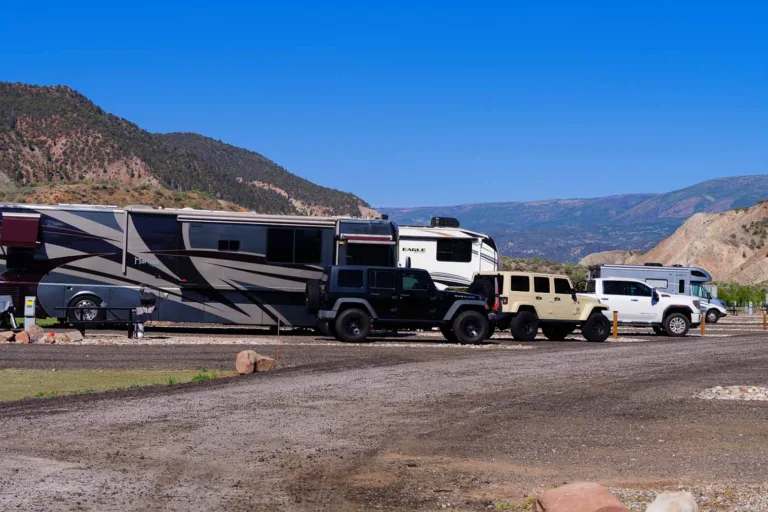
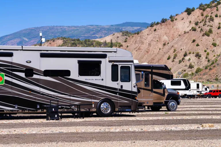
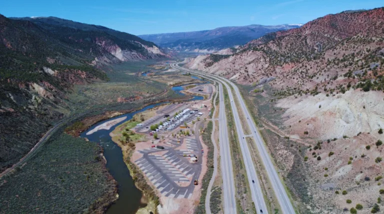
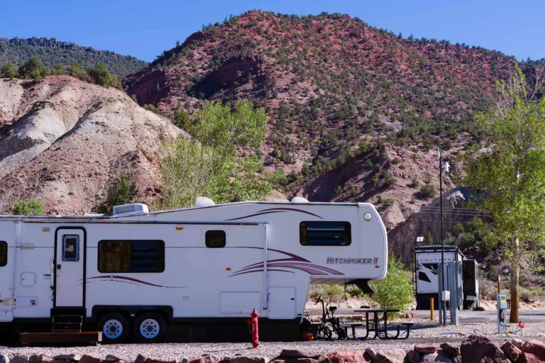
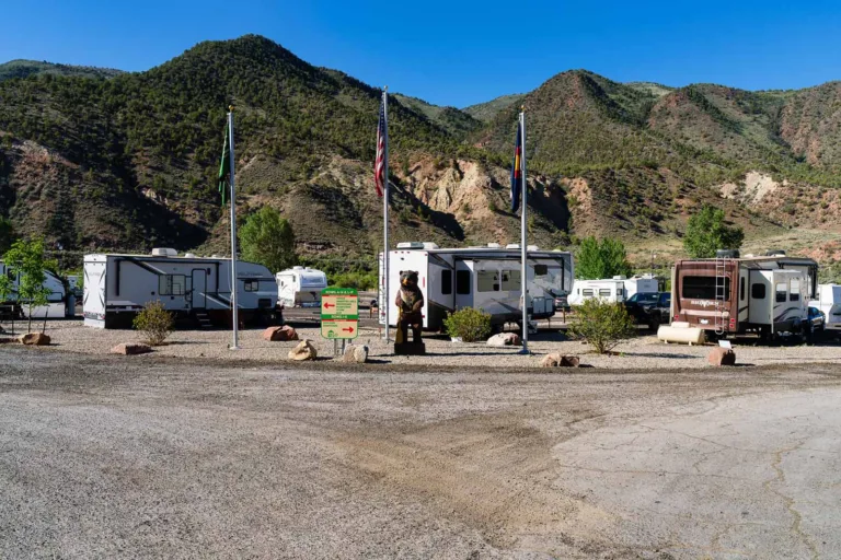
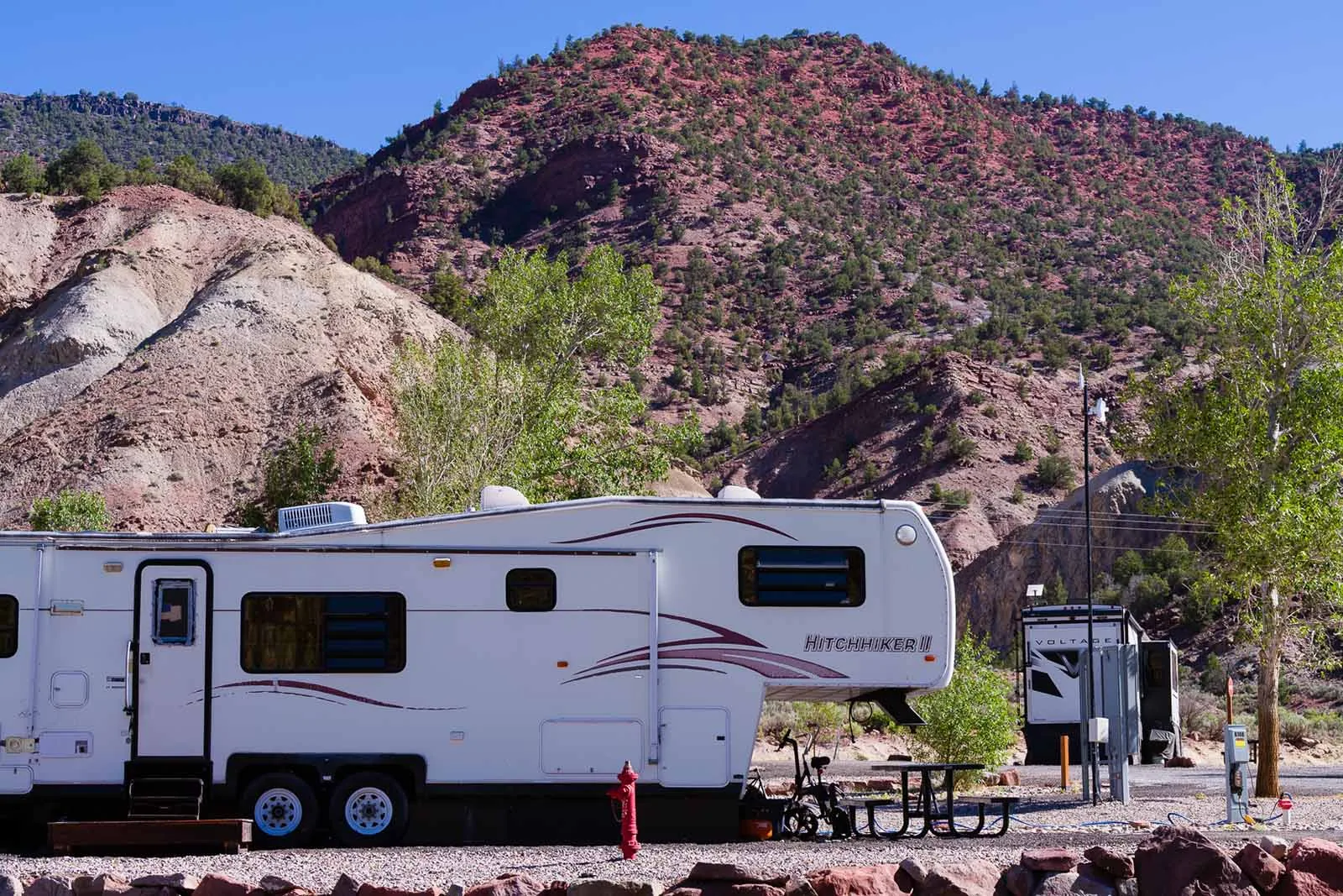
This is where Riverdance RV Resort fits into a big-rig road trip. Located in Gypsum right off I-70, Riverdance offers full hookup sites with 30 and 50 amp power, water, and sewer at every site, plus flat, stable pads that make leveling and setup straightforward for long rigs. After a white-knuckle descent off Vail Pass or a tense run through Glenwood Canyon, a level pad, reliable power, and a hot shower are exactly what you want waiting.
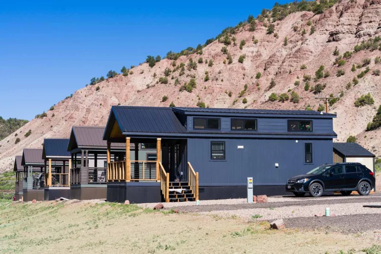
The resort also puts private Eagle River access right on the property, so downtime between drives means fishing, tubing, or paddling steps from your site rather than another trip in the truck. It is pet friendly, has Wi-Fi and coin laundry, and offers monthly park model home lots and the Park & Porch tiny home village for travelers who want to stay longer.
Because Gypsum sits low and flat, arriving and leaving is far gentler on a big rig than basing up at altitude would be. You can plan your travel days around the weather and the CDOT closure map, roll in on a good window, and then let the passes wait until you choose to drive them. Check the resort location and directions to see exactly how it lines up with your I-70 route, and browse things to do nearby once you are parked.
A Big-Rig Driver’s I-70 Checklist
- Before you leave: Check COtrip for closures and weather across the whole corridor, not just your starting point. Confirm your rig’s height against posted tunnel limits if you run tall. Make sure your brakes, tires, and coolant are in good shape before any mountain trip.
- On the climbs: Drop into a lower gear early, expect reduced power above 10,000 feet, and let faster vehicles pass instead of forcing your speed. Watch engine and transmission temperatures.
- On the descents: Pick your gear before the grade, not during it. Use engine braking, exhaust brake, or tow/haul mode and save your service brakes for corrections. Know where the runaway ramp is on Vail Pass.
- In Glenwood Canyon: Slow to the posted limit, keep both hands on the wheel in the wind, and never enter if a closure is active or imminent.
- Between drives: Base low and flat in Gypsum so the hardest sections are one-time events, not daily repeats.
Frequently Asked Questions
The Bottom Line
The Eisenhower Tunnel, Vail Pass, and Glenwood Canyon are not obstacles to fear, but they are sections to respect. Manage your grades with gears, watch the altitude, check CDOT before the canyon, and keep placarded hazmat out of the tunnel. Then give yourself a smart place to land in the middle of it all. Base your rig at Riverdance RV Resort in Gypsum, drive each hard stretch once on your own terms, and explore the Vail Valley from a flat, riverside site. Reserve your spot on Campspot and take the Colorado high country one confident mile at a time.